 T w e n t y S i d e d
Mar Tesoro is the setting of our current campaign. It is a large island (It would take a little better than a week to walk from the north shore to the south) that is inhabited by two seperate groups: The Northerners (also called “Lormanites”), and the Alidians.

On the south side of the island is a mountain called “Mount Khelberg”. It is apparently a very large and valuable mountain that contains a lot of precious metals and gems. From what the party has gathered, the war seems to be over who should control the mountain.
Shamus Young is a programmer, an author, and nearly a composer. He works on this site full time. If you'd like to support him, you can do so via Patreon or PayPal.
What Does a Robot Want?
No, self-aware robots aren't going to turn on us, Skynet-style. Not unless we designed them to.
Marvel's Civil War
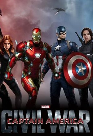
Team Cap or Team Iron Man? More importantly, what basis would you use for making that decision?
Trekrospective
A look back at Star Trek, from the Original Series to the Abrams Reboot.
Final Fantasy X

A game about the ghost of an underwater football player who travels through time to save the world from a tick that controls kaiju satan. Really.
The Middle Ages
Would you have survived in the middle ages?
I just stumbled upon this site a few days ago and was enjoying the “DM of the Rings” comic immensely when I decided to take a break and check out some other things on this site.
That map is beautiful, what was used to create it? It almost looks like it was hand-drawn, but the little town icons are identical and then there’s the text on it. Speaking of which, what font is that? It looks nice and “Old World” but is still easy to read.
Keep up the great work, the internet needs more of this =)
I hand-draw the map, then elsewhere I drew the icons. Then I photoshpped the final thing together. I don’t remember the font. Sadly, I don’t have it anymore.
For me, map making was/is the best part. I always made my map first, then developed a story around it. Nice job on this one.
I ran a campaign in high school (also from western PA) that spanned nearly 30 sheets of 8×11 computer paper. Yeah, I’m that much of a geek that I had to use computer paper.
The larger font seems to be Ondine. Not sure about the smaller one.
Although the scale is different by a factor of ten (or more?), Mar Tesoro seems to be shaped very much like Westeros, with Mount Khelberg positioned not too far from where King’s Landing would be.
How did you come up with the name Mount Khelberg?
Just asking as I find it a strange name because berg is the Swedish word for mountain.
Nice map, looks like you guys have great DnD campaigns.
Nice map. My favorite part of being a DM is drawing maps, then coming up with the history and politics of different nations, then working in the heroes and villains of the world. I find that the people I play with enjoy having a believable world to explore, it’s challenging but rewarding.
Hmmm… three miles per hour, eight hours a day, guesstimate ten days, about the distance from San Diego to Bakersfield.
Or Portsmouth to Manchester.
Four hours by car?
About 2/3 the length of England, maybe 1/3 the length of the big island of Japan?
That’s a good size…
Wow, Burbank to San Clemente would be 1/3 of the island.
Anyway, giving the campaign a read. Thanks for sharing!
Hey, Shamus, just because I figure you don’t get enough posts about 10 and a half year old posts.
I happened to notice the thumbnail for the archive of this series was this map. In thumbnail form it made me stop for a second to wonder what you wrote about Game of Thrones, because I recognized the tiny map of Westeros.